Gorran Haven to Mevagissey
Walk
Cornwall Coast Path
Cornwall Information & Accommodation Guide

This section of the coast path passes through an Area of Outstanding Natural Beauty (AONB) with sites of archaeological, geological and historical interest. (3.5 miles (5.6 km)
In Gorran Haven you can park at the large car park. Gorran Haven has facilities including toilets. Walk down to the beach then turn left and walk up Church Street. If you wish to visit the beach first, Little Perhaver Beach is around the corner from Gorran Haven Beach and therefore easy to reach at low tide. Both beaches are popular family beaches.
1. Pass the turning to Little Perhaver Beach and continue uphill.
2. Follow the waymark sign to the right and walk up Cliff Road. Follow the coast path sign to the right. Cross two stiles and walk across the fields, then through a kissing gate and onto a boardwalk. The beach below is Great Perhaver.
Great Perhaver Beach is not easy to access. There is a steep and difficult footpath from the field down the cliff but the best way to get to Great Perhaver Beach is by boat. It is a lovely sandy beach at low water but there is no beach at high tide. No lifeguard cover.
Of interest to geologists, Great Perhaver Beach is notable for including a large olistolith of Ordovician quartzite which yields an important trilobite-brachiopod fauna.
3. Walk through the fields. The path goes down a small slope to cross a stream. Follow the path up from the stream following the fence on your left.
Great Perhaver Point is part of the Perhaver Special Site of Scientific Interest (SSSI)
(SX 014 418) The coastal section here exposes Roseland Breccia Formation including pillow lavas.
From just beyond Carn Rocks, the area between the coast path and a short distance inland is designated as an area of open access by Natural England.
Jobbles Rock offshore is believed to have once been part of Carn Rocks. Jobbles Rock is a block of white quartzite. The small bay north of Jobbles Rock is of interest to geologists. In the middle of the bay the Ordovician series ends, cut off by a fault.
4. Follow the path past a Bronze Age Tumulus (burial mound) on the landward side of the path.
Pabyer Hole can be seen in the cliffs below. You are now approaching Pabyer Point. This area ids also of geological interest.
The earthwork, adjacent to the landward side of the path is possibly a former Roman observation point.
5. The coast path descends towards Turbot Point. This area is protected by the National Trust. Turbot Point is part of an SSSI - A Geological Conservation Review site. This stretch of coastline around Veryan Bay demonstrates superb exposures of a very complex geological terrain, mainly of Middle-Upper Devonian age.
Turbot Point features in more recent history. Bodrugan's Leap is named after Sir Henry Bodrugan (aka Trenowth). In 1487, he leapt from the cliffs here to escape his enemy, Sir Richard Edgcumbe of Cothele, who was pursuing him. He leapt to a boat and escaped to France.
6. There is a steep downhill section of path as you descend to Chapel Cove. Here you'll find the delightful Colona Beach with its white pebbles, a sheltered east facing bay.
After exploring the beach return to the path.
7. The path climbs up towards Chapel Point, the southwestern point of St Austell Bay.
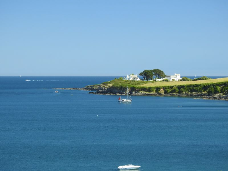
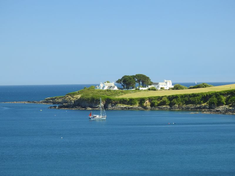
There are 3 white houses on the point, built in the 1930s.
8. For approx. one mile, the path now passes through grassy fields and along the lane which accesses Chapel Cove.
Roward's Quay is below you.
You soon enter Portmellon with its small cove. At low water there are many rockpools to explore. After stopping to have a look at Portmellon Cove and maybe enjoy some refreshment at the inn, follow the road uphill from Portmellon. Below you is Polkirt Beach.
9. Walk up onto Stuckumb Point. From here you can get a good view of Portmellon behind you.
10. Continue along this road with its homes and holiday accommodation. You will shortly get your first view of Mevagissey and the lovely sweep of Mevagissey Bay.
11. The lane now descends steeply into Mevagissey, giving you some splendid views and the opportunity to take some lovely photographs of this picturesque fishing village and its harbour.
Public Transport
Bus service 23 Gorran Haven - Mevagissey - Heligan - Polgooth - St Austell
Visit Cornwall Public Transport for latest timetable
OS Explorer Map 105
All ATMs throughout Cornwall.
If the information on this website has been useful to you please consider a donation.
This easy to use travel planner makes it simple. Just add the location in Cornwall from where you are travelling and the destination you wish to travel to and it will provide full details of times, buses, trains and ferries to get you to your destination.
Location:
Area Map Truro - Falmouth Area
Road directions to Gorran Haven to Mevagissey - Walk - Cornwall Coast Path
Books online:
Click here to buy books online about Gorran Haven to Mevagissey - Walk - Cornwall Coast Path
Find all the Dog Friendly beaches in Cornwall
More archaeological sites in Cornwall
Places of interest in or around Gorran Haven to Mevagissey - Walk - Cornwall Coast PathTowns, villages and other locations |
Cornish phrases and place names |
Topical phrases of the month January: 'New Year's Resolutions'
Place Name of the Month January: Tre at Last!

|
Gorran Haven to Mevagissey - Walk - Cornwall Coast Path Map |
|
Gorran Haven to Mevagissey - Walk - Cornwall Coast Path Events |
|
Gorran Haven to Mevagissey - Walk - Cornwall Coast Path Community Information |
|
Gorran Haven to Mevagissey - Walk - Cornwall Coast Path Books |
|
Gorran Haven to Mevagissey - Walk - Cornwall Coast Path Photos |
|
Gorran Haven to Mevagissey - Walk - Cornwall Coast Path Videos |
|
Gorran Haven to Mevagissey - Walk - Cornwall Coast Path History |
Gorran Haven to Mevagissey
Walk
Cornwall Coast Path
Accommodation
in or around Gorran Haven to Mevagissey
Walk
Cornwall Coast Path
Things to do
in this area

|
|


