Photos of Isles of Scilly
and its surroundings

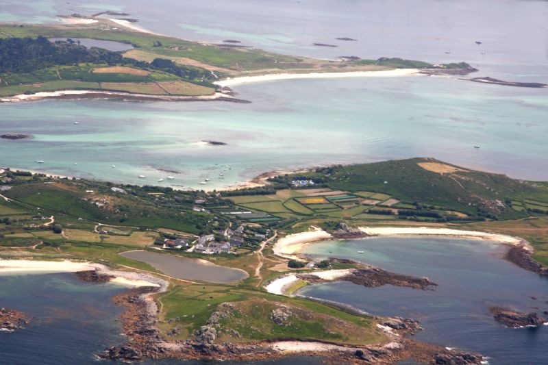
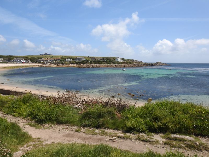
The island of Bryher is in the foreground with Tresco lying just across the water. Tresco's New Grimsby Harbour can be seen. Bryher's Great Porth beach is in the foreground. |
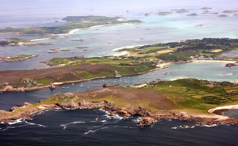
Bryher is in the foreground with Tresco beyond it and St Martin's in the distance. Between Bryher and Tresco there is a sheltered harbour. |
|

|
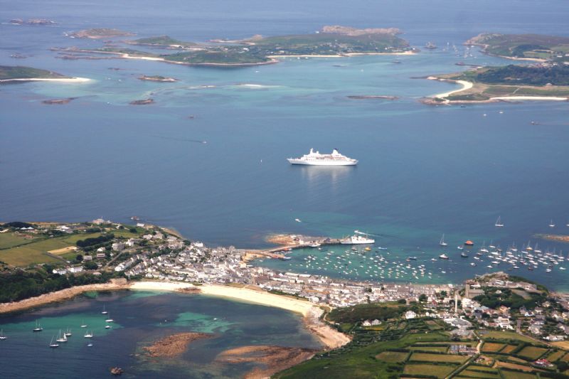
In the background, across the area of water known as The Road, is Bryher and part of Tresco can be seen to the right. |

|
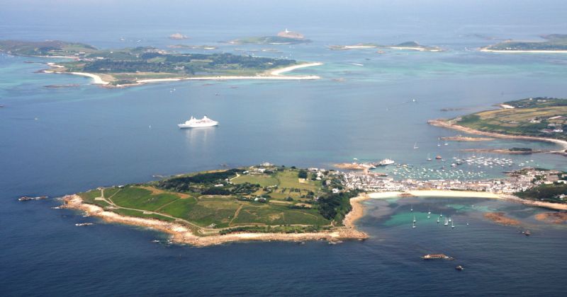
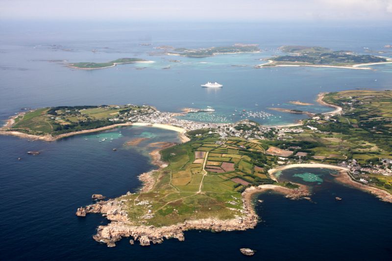
St Mary's in the foreground with Hugh Town and The Garrison. |
|
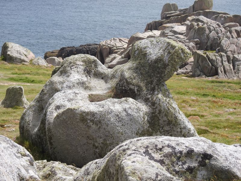
Walking from Old Town Cove around the coast of St Mary's to the harbour we found this lovely rock formation. |

The Round Island lighthouse was built in 1887 and automated in 1987. The small uninhabited islands of St Helen's and Tean are in the foreground with the tip of Tresco on the right and St Mary's in the background. |

|

|
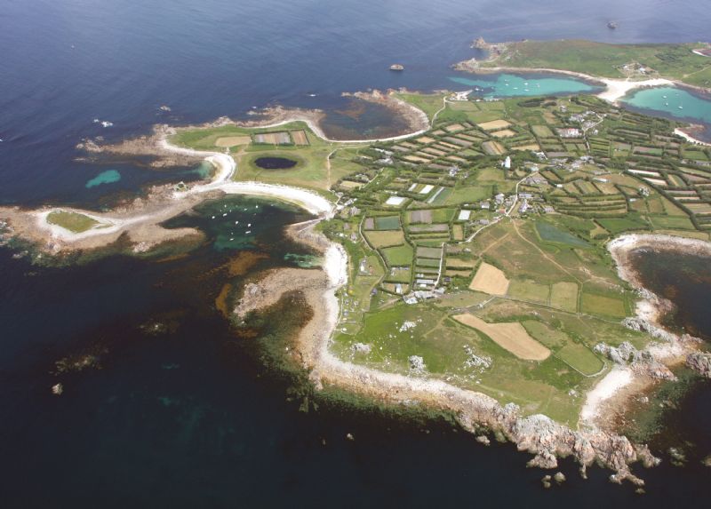
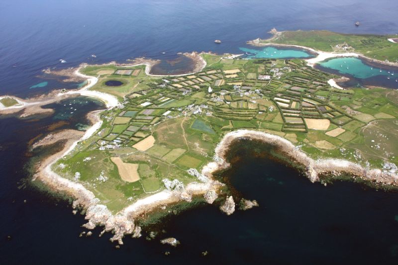
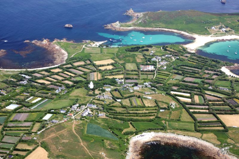
Periglis Beach and Porth Coose are in the foreground with Porth Killier, Porth Conger and The Cove beaches in the background. |
|
|
|
|
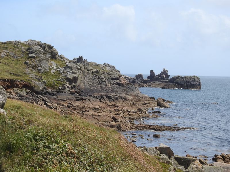
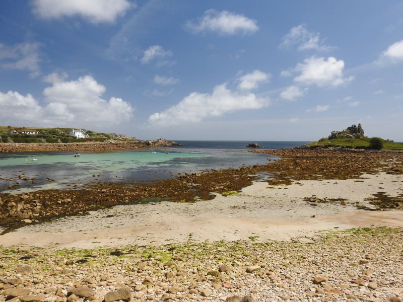
Walking St Mary's coastline between Old Town Bay and The Quay at Town Beach. |
|

|

|

|

|

|
More information about Isles of Scilly
View more photos in our online Cornwall Photo Gallery
|
All Photography on this website, unless stated otherwise by:
|
||
|
www.awmp.co.uk
© 2006-2025 |
www.choughmountain.design
© 2006-2025 |
|

| Isles of Scilly |
|
Isles of Scilly Map |
|
Isles of Scilly Beaches |
|
Isles of Scilly Events |
|
Isles of Scilly Community Information |
|
Isles of Scilly Books |
|
Isles of Scilly Photos |
|
Isles of Scilly Videos |
|
Isles of Scilly History |


Road directions to
Isles of Scilly
Using public transport
to and around Cornwall.
Plan your journeys
Buses, trains, ferries and more

Towns and villages in Cornwall and the Isles of Scilly
Isles of Scilly
Accommodation
Businesses
Isles of Scilly


