St Michael's Way
Cornwall Information & Accommodation Guide

St Michael's Way, in Cornish, Forth Sen Myghal, is a trail from Lelant near St Ives to St Michael's Mount near Marazion and Penzance
The trail is 12 miles (19.5 km) if travelling via Lower Quarter or 12.5 miles 20.5 km) if travelling via Gulval.
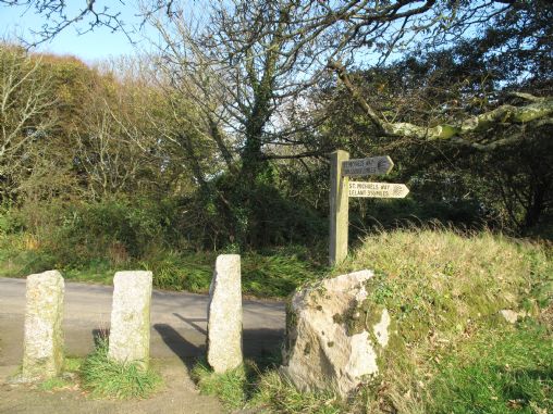
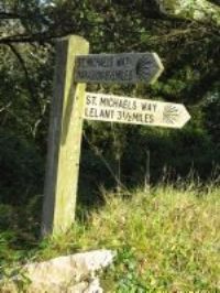
Part of an extensive network of pilgrim routes across Europe, all of which converge on St James' Cathedral in Santiago de Compostela, it is marked with regular wooden signposts showing a scallop shell.
The route is believed to be very ancient and the earliest pilgrims travelling it would have aided in Cornwall becoming converted to Christianity.
Pilgrims, missionaries and travellers, especially those journeying from Ireland and Wales, are believed to have used St Michael's Way to avoid what would have been the very dangerous waters around Land's End. It was safer to cross the land than sail around Land's End.
St Michael's Way makes use of public footpaths and quiet lanes beginning at the Church of St Uny, Lelant, on the north coast between Hayle and St Ives and passing quiet villages, historic monuments and beautiful countryside to arrive at St Michael's Mount.
There are two route options at Ludgvan, walking via Lower Quarter or Gulval. This gives the possibility of creating a circular walk from this southern part of the trail.
Public Transport
Visit Cornwall Public Transport for latest timetables
OS Explorer Map 102 - Land's End, Penzance and St Ives
All ATMs throughout Cornwall.
If the information on this website has been useful to you please consider a donation.
This easy to use travel planner makes it simple. Just add the location in Cornwall from where you are travelling and the destination you wish to travel to and it will provide full details of times, buses, trains and ferries to get you to your destination.
Books online:
Click here to buy books online about St Michael's Way
Find all the Dog Friendly beaches in Cornwall
Places of interest in or around St Michael's WayTowns, villages and other locations |
Cornish phrases and place names |
Topical phrases of the month January: 'New Year's Resolutions'
Place Name of the Month January: Tre at Last!

|
St Michael's Way Map |
|
St Michael's Way Events |
|
St Michael's Way Community Information |
|
St Michael's Way Books |
|
St Michael's Way Photos |
|
St Michael's Way Videos |
|
St Michael's Way History |
St Michael's Way
Accommodation
in or around St Michael's Way


|
|


