Photos of Padstow
and its surroundings
|
|

St Enodoc's Church is a short walk from Daymer Bay. Rock can be seen in the background with many yachts moored in the Camel estuary. Brea Hill is an excellent viewpoint. |

Fishing boat on the River Camel passing St Enodoc Church. The Cornwall Coast Path follows the river on the St Enodoc side. In the foreground is part of Hawker's Cove which has a large, sandy beach at low tide. |

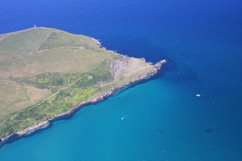
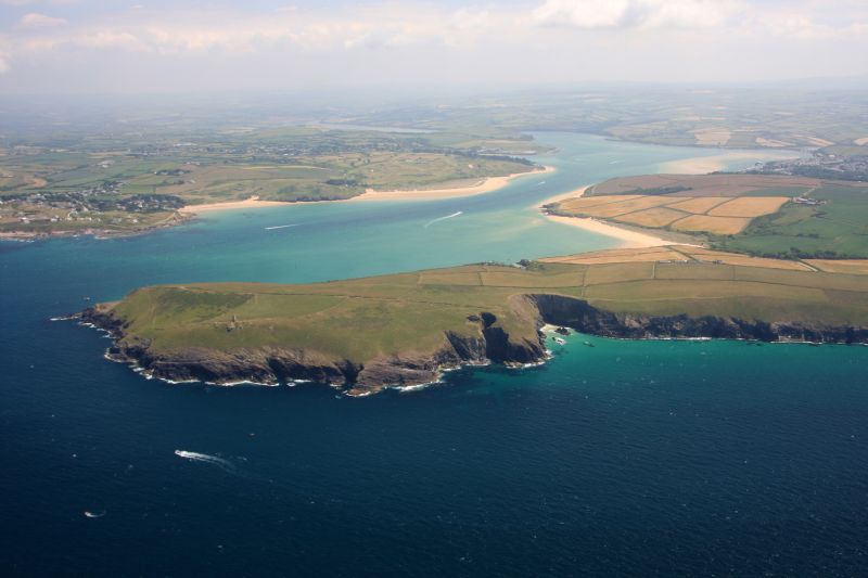
Stepper Point, Hawker's Cove and the River Camel towards Padstow looking parched on a sultry afternoon during this year's heatwave. |

The original red 'oss', stabled at the Golden Lion. |
|

The Camel Trail starts at Padstow and follows the River Camel upstream to Wadebridge and beyond. The bridge across the entrance to Little Petherick Creek formerly carried trains but was converted for the use of cyclists, walkers and horse riders when the old railway line became the Camel Trail. |

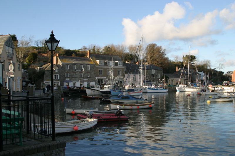
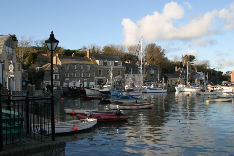
On an Autumn afternoon, on an incoming tide, a fishing boat returning to port at Padstow along the River Camel.
|
|

Rock is a short ferry ride from Padstow - pedestrian ferry only. The famous sandbar - the Doom Bar can also be seen in the photograph. |

|
More information about Padstow
View more photos in our online Cornwall Photo Gallery
|
All Photography on this website, unless stated otherwise by:
|
||
|
www.awmp.co.uk
© 2006-2025 |
www.choughmountain.design
© 2006-2025 |
|

| Padstow |
|
Padstow Map |
|
Padstow Beaches |
|
Padstow Events |
|
Padstow Community Information |
|
Padstow Books |
|
Padstow Photos |
|
Padstow Videos |
|
Padstow History |
Using public transport
to and around Cornwall.
Plan your journeys
Buses, trains, ferries and more

Towns and villages in Cornwall and the Isles of Scilly
Padstow
Accommodation
Businesses
Padstow


